Cape Cod
Both of us have spent most of our lives on the West Coast of Canada and our only reference points for Cape Cod were as a frequent setting in books. I think that I had envisioned an idyllic and quaint village and was surprised to discover that Cape Cod is so much more than that. The bent-arm-shaped peninsula is made up of 15 towns, some of which encompass smaller villages. It is separated from the mainland by a seven-mile-long (11km) canal that is crossed by two highway bridges and a railroad bridge. We thought we would have a short drive around but it quickly became apparent that our visit would be an all-day adventure.
After driving partway along Highway 6 and seeing, well, highway, we headed off on an exit to get to roads closer to the sea shore. We stopped at a coffee shop to sort out our route and Ken sought the advice of a nearby patron. She kindly answered our questions and recommended we stay on the north side of the peninsula on the road that we were now on (6A) and where most of the historic seaside villages were located, until it joined 6 at the peninsula’s elbow. We asked about looping back on the south side’s route 28 and she recommended against it, citing the local view of “doing 28 on the 28” because it is so slow and clogged.
Most of the forearm of the Cape Cod peninsula is part of the Cape Cod National Seashore. You need a National Park Pass (day or annual) to park at any of the beaches as you tour around. The Cape Cod National Seashore Salt Pond Visitor Center is a useful stop to learn about the area, but to purchase a day or season pass, just head to one of the beach parking areas and they’ll assist you there.


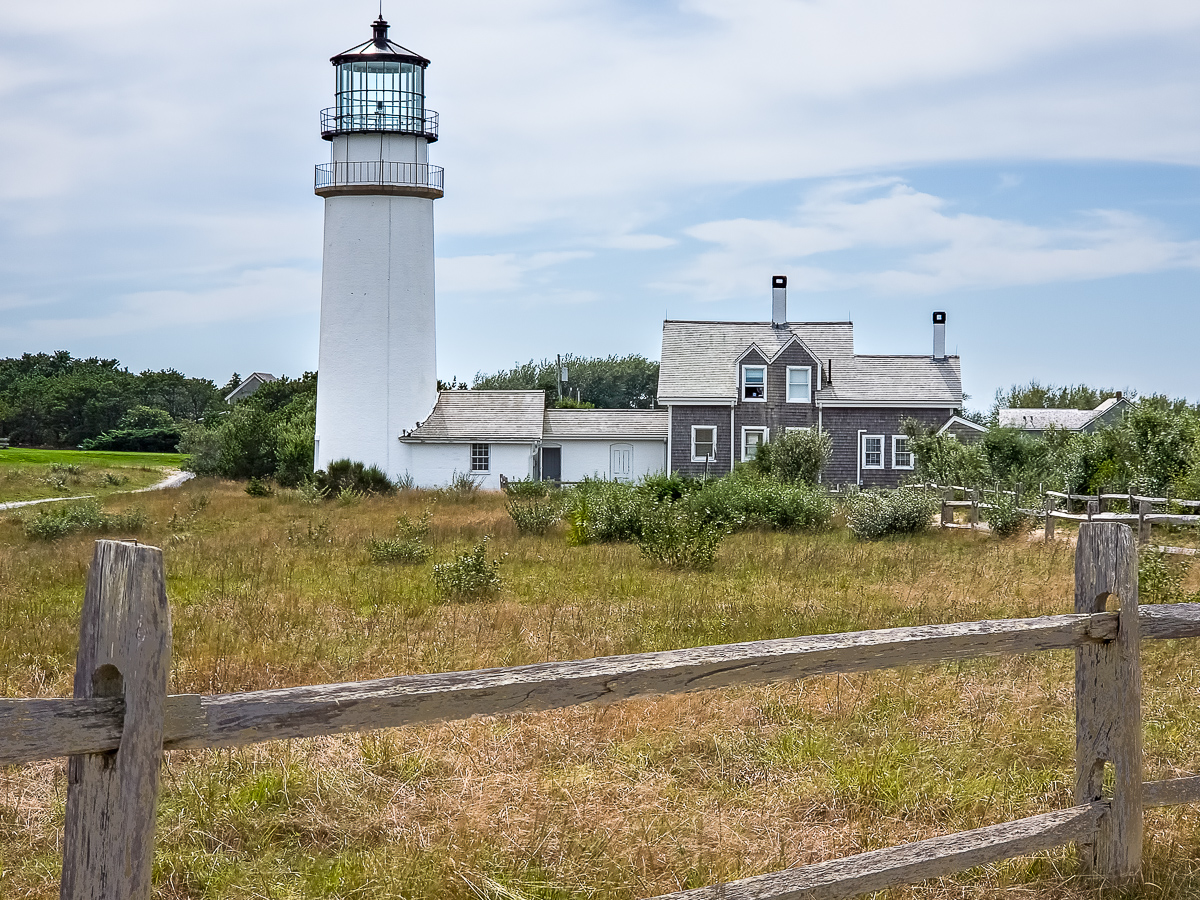
Highland Light 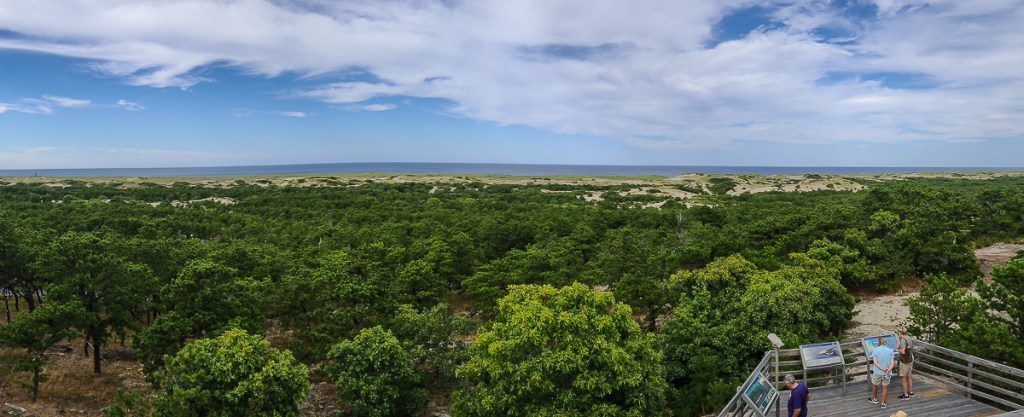
View from Province Lands Visitors Center 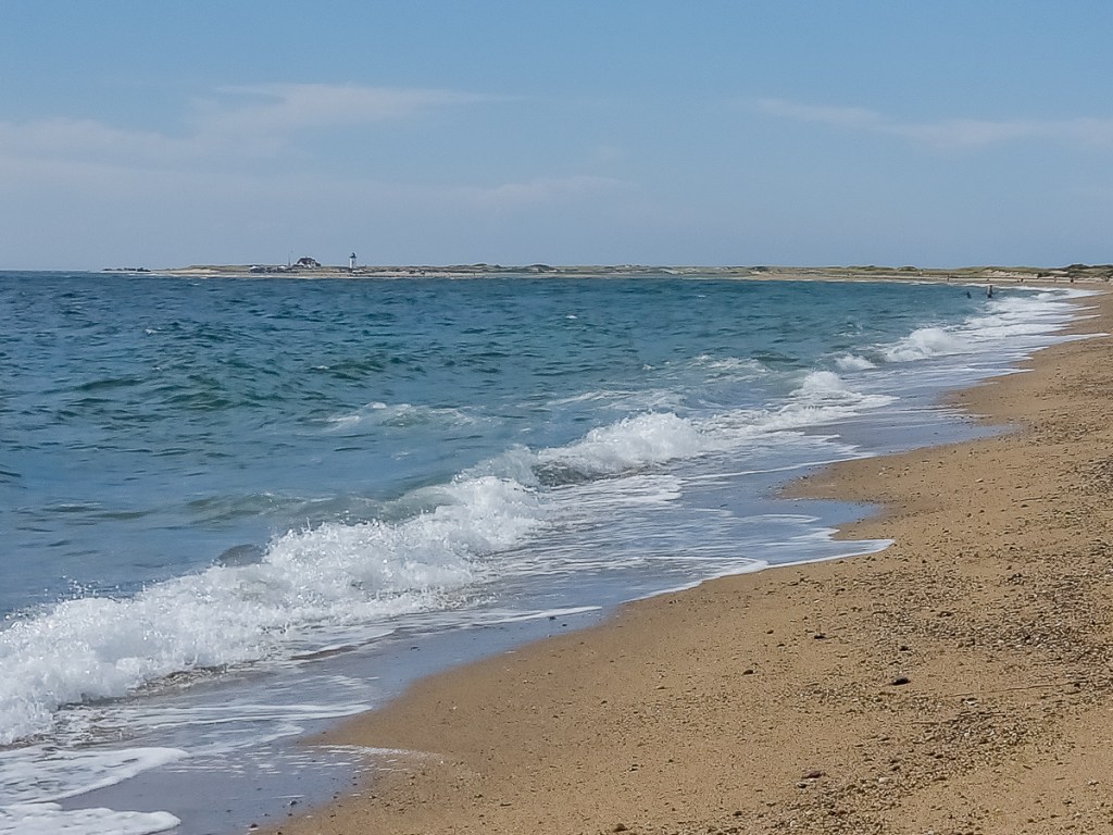

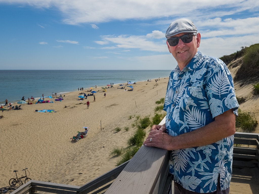
Feet in the Atlantic Ocean 
Near Pilgrims First Landing Park 

We had hoped to ride at least some of the Cape Cod Rail Trail or the Shining Sea Bikeway, but we ran out of time and had to leave the peninsula since our accommodation was back on the mainland.
Boston
We completed a short house sit in metro Boston, in Winthrop. We were able to take the dogs to the beach for their walks each day, and visit Deer Island on our bikes. In the 1980s, the Boston Harbor was known as “the filthiest harbour in America.” A federal lawsuit about the state of the harbour resulted in a massive cleanup project and the construction of a water treatment facility on Deer Island. The facility is encircled by a paved riding and walking path dotted with interpretive signs describing the problem, the project, the people behind it, and its results. It also offers wonderful views of the Boston Harbor and of planes flying in and out of the Logan International Airport.

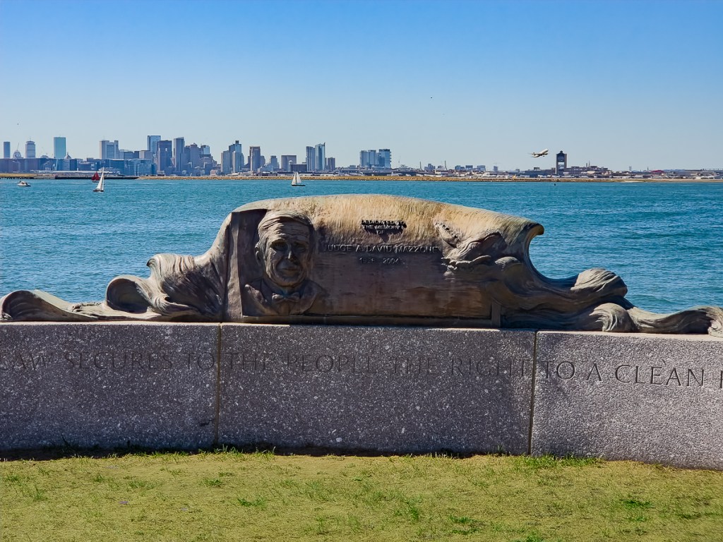
Boston skyline from Deer Island 
Digester “eggs” are a very visible part of the treatment system 
Since we were staying less than three km from a train station and, from there, only two stops on the train and we were near Boston’s waterfront, we were able to enjoy several hours in town and still be back to the pups in a reasonable time. There is so much history here that some sort of tour is probably worthwhile if that interests you. We followed an audio tour to provide a bit of background, but mostly just enjoyed walking around the old city and waterfront.
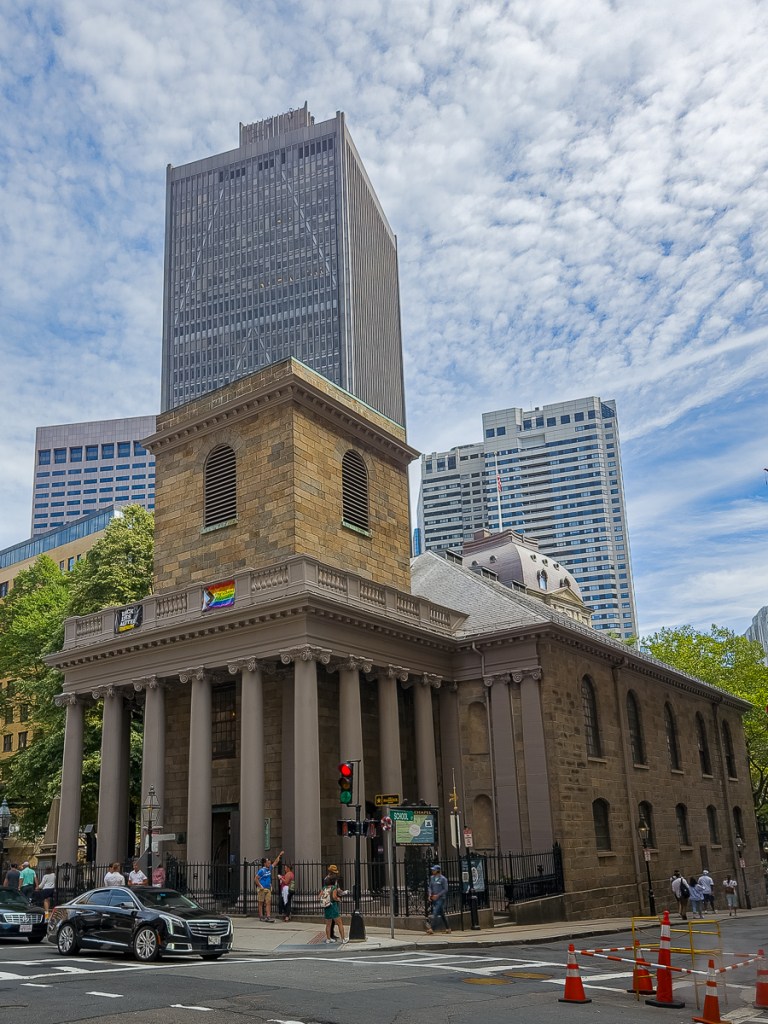
King’s Chapel 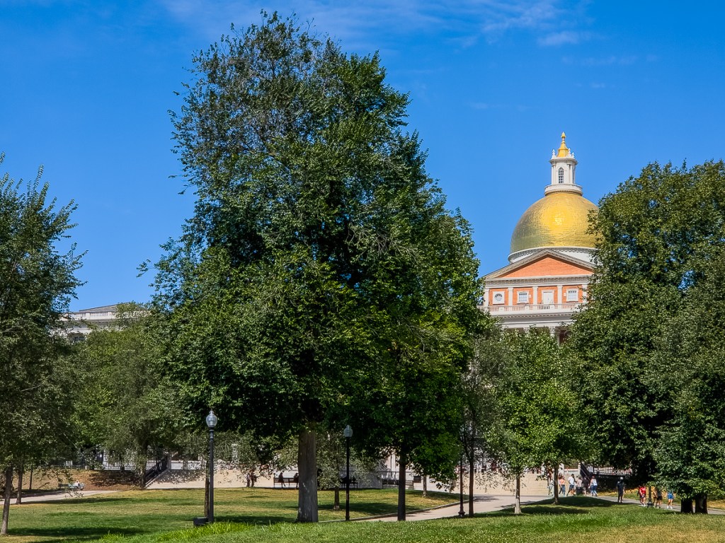
Massachusetts State House 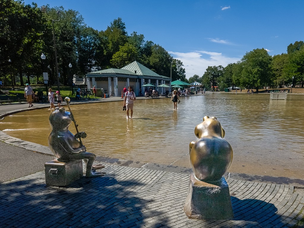
Boston Common Frog Pond
(in winter it’s a skating rink)

Waterfront 
Faneuil Hall 
Bustling Quincy Marketplace
TripBits
- National Park Pass for Cape Cod: Daily vehicle entrance (for Cape Cod beaches) $25, annual pass $60.
- Audio Tour for Boston: There are several available in izi.Travel.
Stays (for camping program details, see CampingPrograms)
- Buffalo, NY: Rusty Nickel Brewery Harvest Host (suggested $20 purchase for all Harvest Host locations)
- Accord, NY: Rondout Valley Campground Thousand Trails (member, $0)
- Rochester, MA: Gateway to Cape Cod Campground Thousand Trails (member, $0)
- Winthrop, MA: House sit ($0)

Please drop us a note!