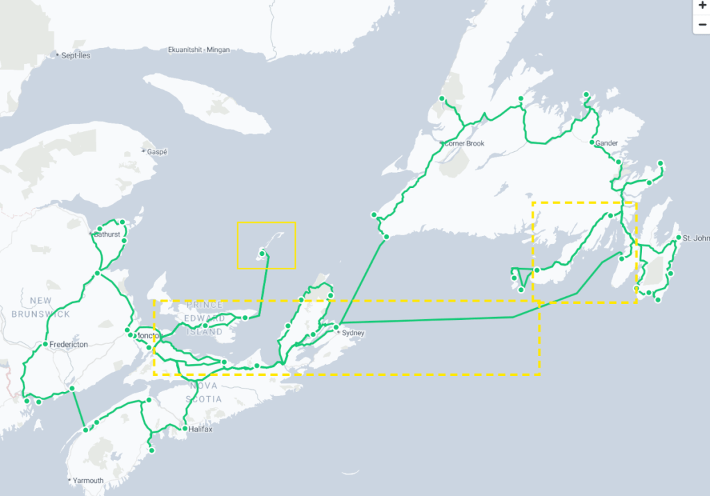
From one set of islands (St. Pierre and Michelon) to another island (Newfoundland) and then another island (PEI), and still another set of islands (Îles-de-la-Madeleine). This transfer took us through two countries (France and Canada) and five provinces (Newfoundland, Nova Scotia, New Brunswick, PEI, and Quebec). What a whirlwind!
We disembarked the SPM ferry in Fortune, Newfoundland, grabbed our car, and drove back around Placentia Bay to the town of Placentia to catch the overnight ferry back to North Sydney, Nova Scotia.
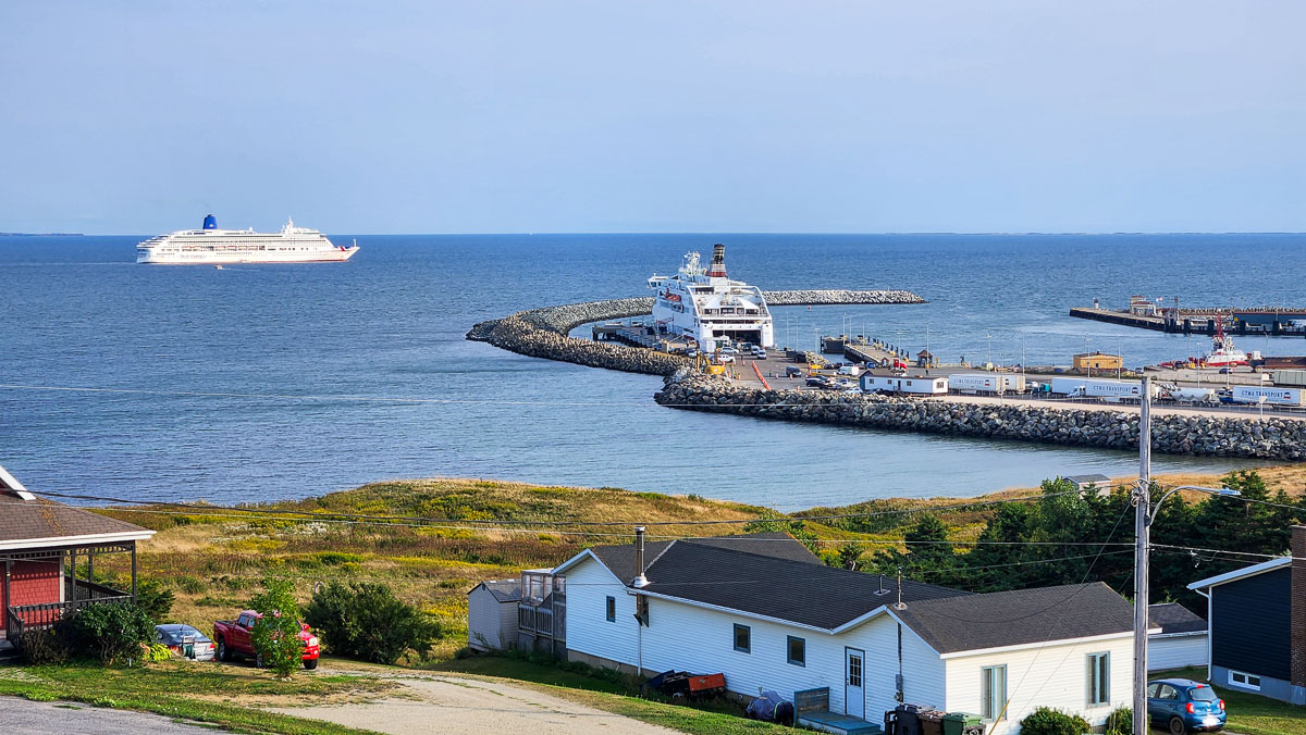
We stayed the night in Placentia, so had the chance to look around a bit before our ferry boarded the next day. Placentia is an amalgamation of several communities, including the Argentia Industrial Park–a fascinatingly weird 1000-hectare piece of land that, until 30 years ago, was a US Naval Station. It is now a hub for heavy industry and green energy with 40 companies and a college campus calling it home. Old runways that were built to take the weight of military bombers now store the legs for offshore wind turbines that are shipped in from Europe, destined for the US east coast.
Our berth on the ferry was impressive, and we were very happy to have it for the 16-hour trip, but we were also impressed with the comfortable reclining seating arrangements, especially those in the quiet rooms. They seemed far superior to any that a long-distance flight might offer. A bar, coffee shop and full restaurant made the crossing very pleasant.
Placentia waterfront 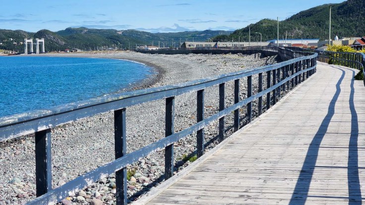
The boardwalk along Placentia’s waterfront 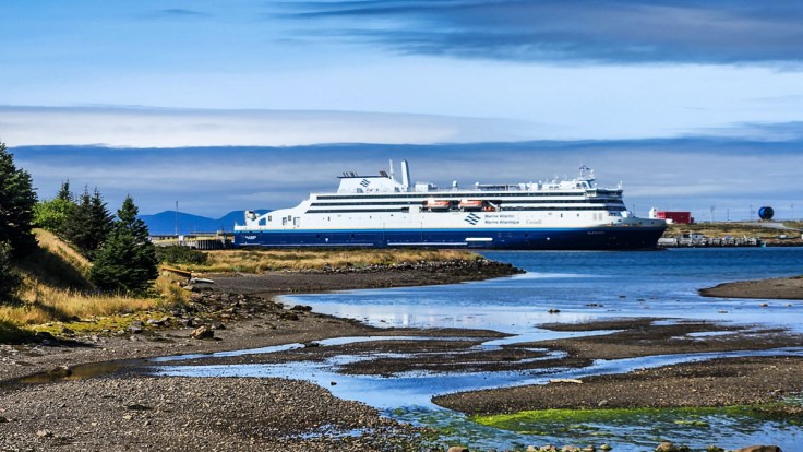
A peek at our ferry 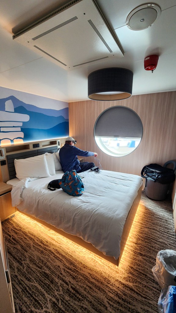
Our room for 16 hours 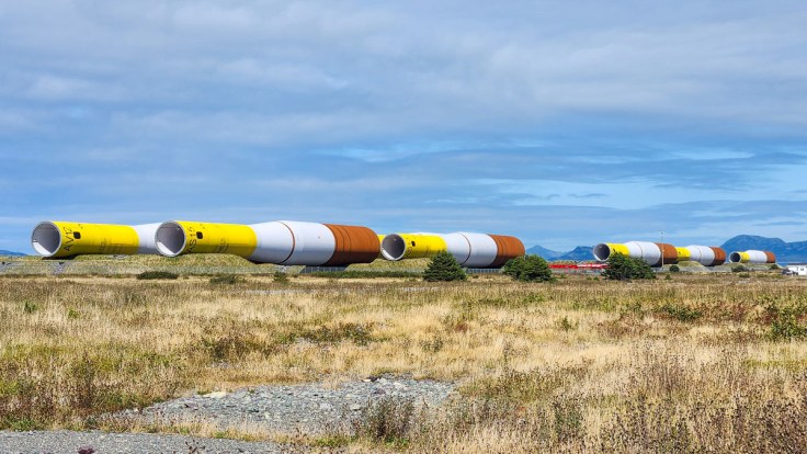
Wind turbine parts in the Argentia Industrial Site 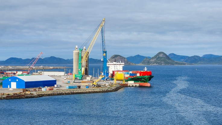
Heading out of Argentia
After landing in North Sydney, Nova Scotia, we scooted through Nova Scotia and into Moncton for an eye injection appointment for Ken, and then over the Confederation Bridge to PEI once more. We stayied in Souris overnight before boarding the ferry to Îles-de-la-Madeleine the following day. See: Prince Edward Island (twice).
Ferry arriving in Souris 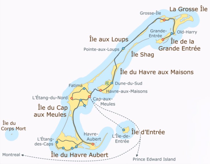
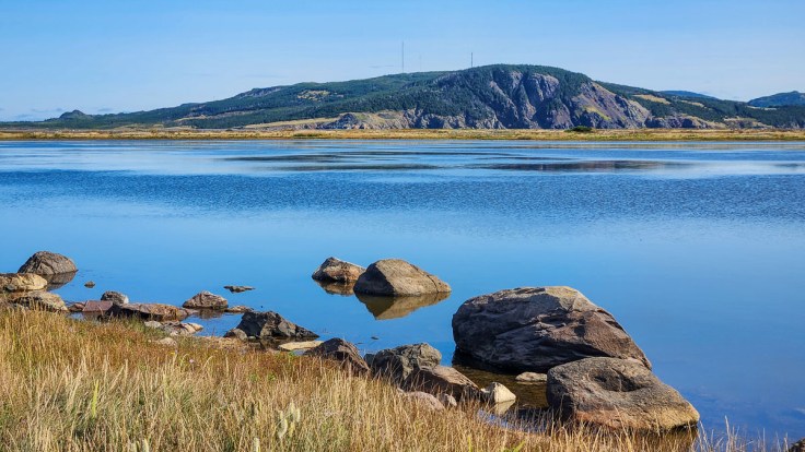
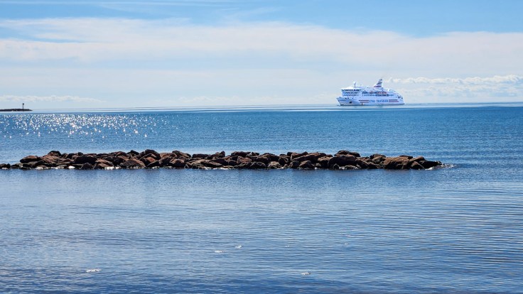
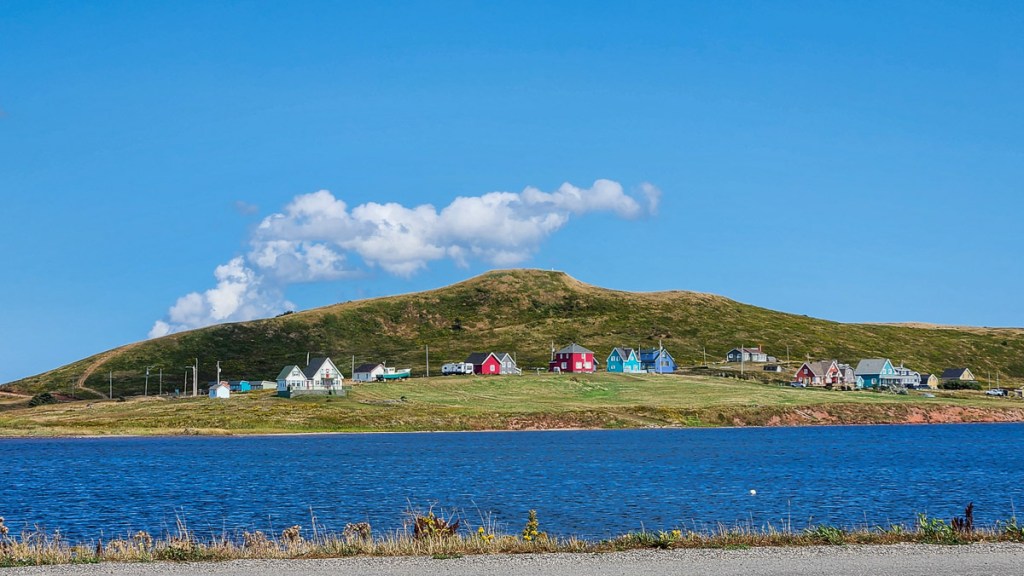
Five hours off the shore of PEI, we arrive by ferry in Cap-aux-Meules, one of the eight islands that make up the 200 square kilometre archipelago called Îles-de-la-Madeleine (or the Magdalen Islands). We stayed for a week, just up the hill from the ferry port, and drove to and around all of the islands that we could.
Île du Havre Aubert
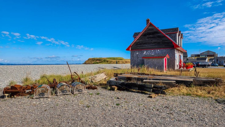
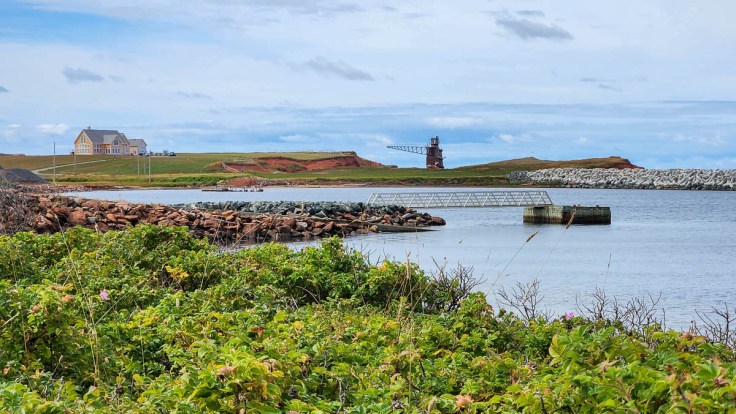
On the southern-most island, our target was La Grave, an artsy community at the south-eastern site of the first settlement on the islands. It is made up of many historic buildings that are now galleries, shops, and cafés, most of which are only open seasonally during the summer. Perched on a cliff is the maritime museum, Musée de la Mer des Îles de la Madeleine, behind which we found ocean-themed sculptures and great views of Entry Island and Sandy Hook.
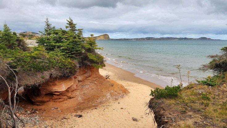
From La Grave, we drove along the road toward Sandy Hook, thinking we might be able to get all the way out to the point. Instead, we arrived at a parking lot with a walkway to the beach at the dune. A tractor pulling a trailer filled with seats appeared while we were figuring out our next move, and it was quickly filled with beachgoers carrying chairs, umbrellas and coolers. We learned that it transports fun-seekers out to the point for a fee. We opted, instead, to see more of the island, and headed to the south coast near Anse-à-la-Cabane Lighthouse.
One of the many historic buildings and artifacts on display 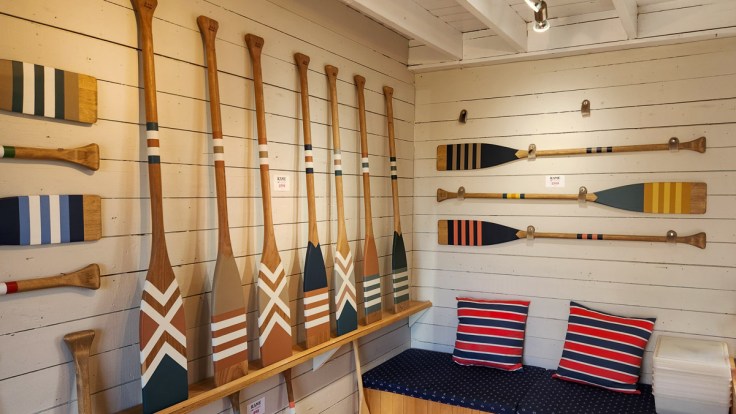
Beautiful paddles on display in a coffee shop 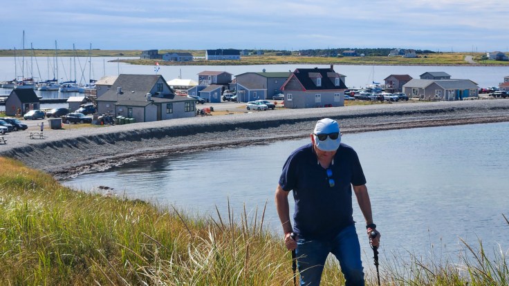
Climbing up the cliff for the views 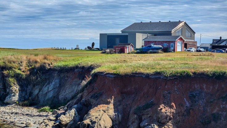
Museum 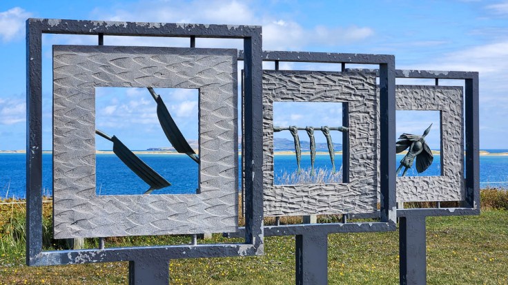
Sculptures behind the museum 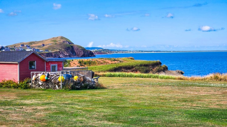
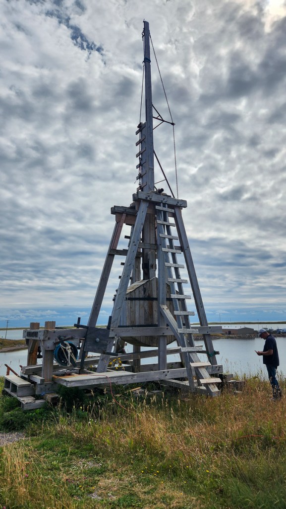
Surprised to find a catapult along the road to Sandy Point 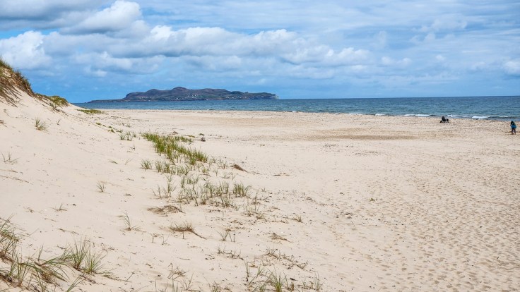
The beach at Dune du Sandy Hook 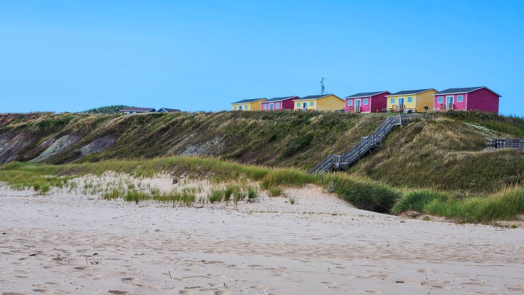
Along the southern coast of the island 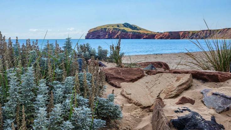
Southern coast
Îles du Cap-aux-Meules and Havre-aux-Maisons
We stayed on Cap-aux-Meules, not far from the bridge that connects it to Havre-aux-Maisons. The latter island is known for its colourful houses, a cheese shop, and a smoked fish shop among other things. For some reason, I took only one photo there.
Île du Cap-aux-Meules East Side
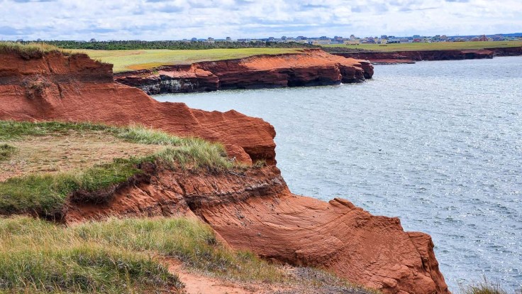
We had a beautiful view over the ferry port from our room. On the other side of the ferry port, the stairs leading up to the observation platform called to us each day before we finally gave in and climbed them. Beyond the lookout, we walked along a paved pathway along the east coast and could see the effects of erosion as well as the work that was being done to reinforce the beach and protect the land.
Erosion along the eastern shore 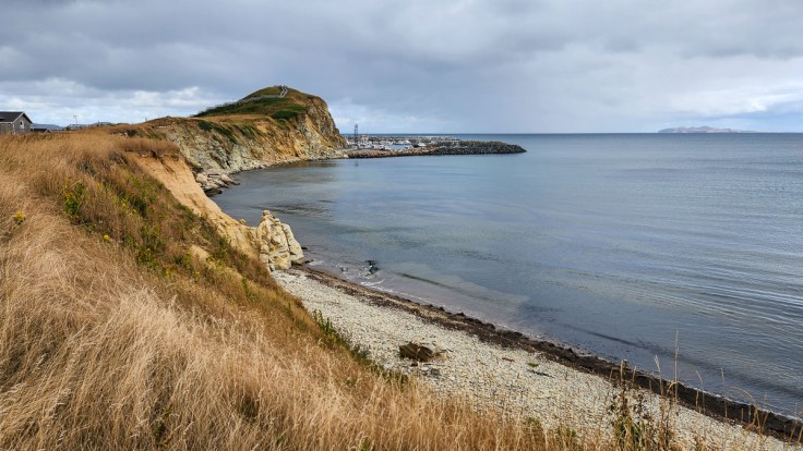
The east coast looking over to the observation point 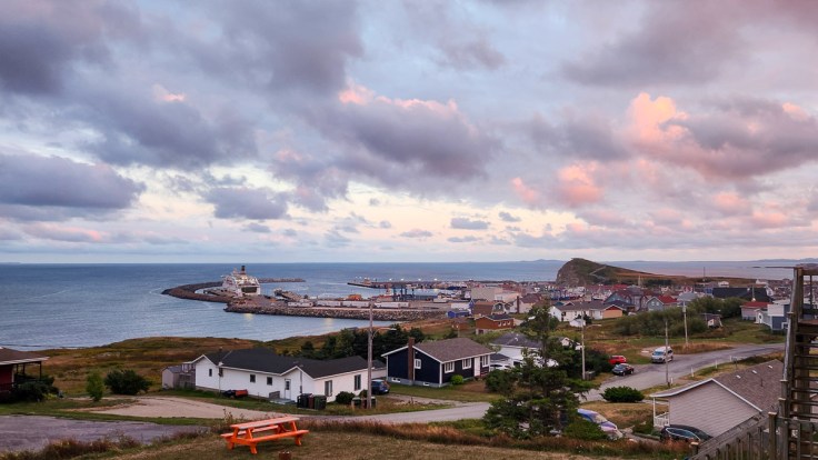
View from our balcony 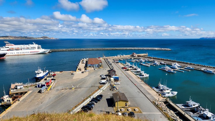
From the lookout over the ferry terminal
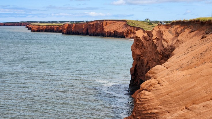
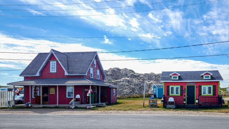
Îles du Cap-aux-Meules West Side
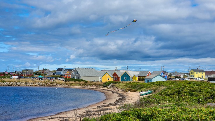
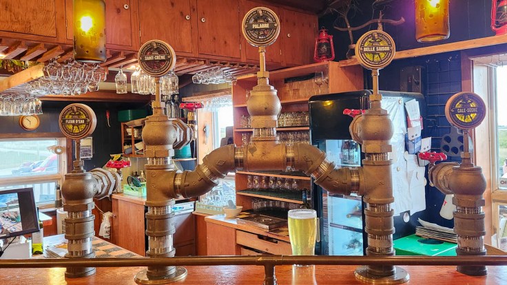
The west side of Cap-aux-Meules offered quite a different environment with its red cliffs and the colourful historic buildings at Site de la Côte, now an arts and culture community. When we visited there were kites flying and an art festival that involved artists producing complete paintings out on the grounds while visitors observed their process. A little farther south is À l’abri de la Tempête, a microbrewery and pub with awesome views.
Site de la Côte 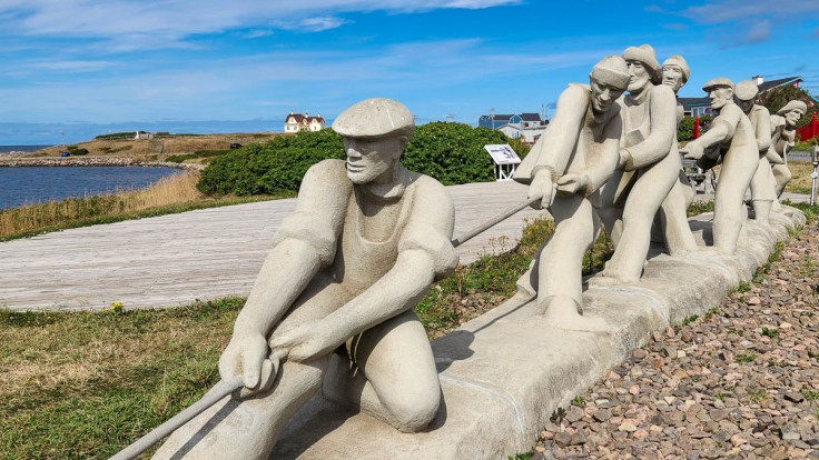
À l’abri de la Tempête–the pub 
À l’abri de la Tempête–the brewery
Île aux Loups and the North Islands
To get to the north islands, we drove across the bridge to Île du Havre-aux-Maisons and to the other end of that island before crossing over to Île aux Loups. The crossing and road along this strip of an island is basically just a two-lane road along a sand dune with water on both sides, though once you’re on Île aux Loups, the dune blocks the view on one side for most of the way.
After driving beside what seemed like the world’s longest sand dune (it’s not) with nothing but the occasional RV parked just off the road, we came upon an industrial building complex behind a chain link fence. Though it appeared old, it was obviously in operation with many cars parked inside. I scrambled to research what this was and came across an interesting story. Meines Saleine (Salt Mines) exists because the islands sit on top of massive salt domes. These were created 360 million year ago (give or take) when the area was near the equator and consisted of shallow basins that evaporated, leaving behind thick layers of salt. Millions of years later, the layers were buried and pushed upward into domes, which were only discovered in 1972. The salt mine (the only one in Quebec) began operating in 1982 and now produces 1.3 to 1.5 million metric tons of rock salt (primarily used for road de-icing across eastern Canada and the United States) and employes 150 to 200 people.
Farther along the same road as it curved around La Grosse Île we found ourselves driving through a Canadian National Wildlife Area, Pointe de l’Est, with several side roads leading to small parking pull-outs and hiking trails. We started to walk down a trail, and then realized we still had more to see at this top end of the island and might run out of time if we headed out on a long hike (for which we were unprepared anyway).
We drove off the main road to La pointe Old Harry, an eroding historic headland separating what was the village from the huge stretch of beach, La Plage de la Grande Échouerie. After a short drive to the last point we could drive to on the north islands, we turned around and headed back to Cap-aux-Meules.
La pointe Old Harry 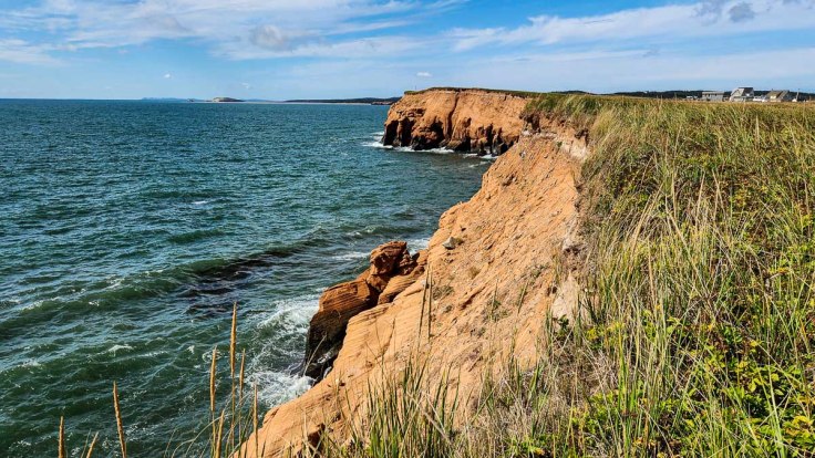
The end of the road
TripBits
- Marine-Atlantic Ferry: Placentia (Argentia Industrial Park) to North Sydney, $514.45 (including Deluxe Cabin).
- CTMA Ferry from Souris to Cap-aux-Meules: $379.89 return, vehicle plus two seniors for five-hour crossing.
- Accommodation on Îles-de-la-Madeleine: L’Auberge du Port. We had a huge room with a great view and access to a shared kitchen and lounge area, which was a great way to meet other travelers. In the kitchen, each room had access to its own pantry cupboard and fridge, with plenty of common items provided.

Please drop us a note!