
We were incredibly lucky to find a two-month housesit in beautiful Vancouver, and even luckier that it turned into a four-month sit that will end early January 2021. Our comfortable home comes complete with a very cuddly cat to keep us entertained when we are home. But how have we managed to keep ourselves entertained when so many activities are closed down or don’t feel safe during a global pandemic?

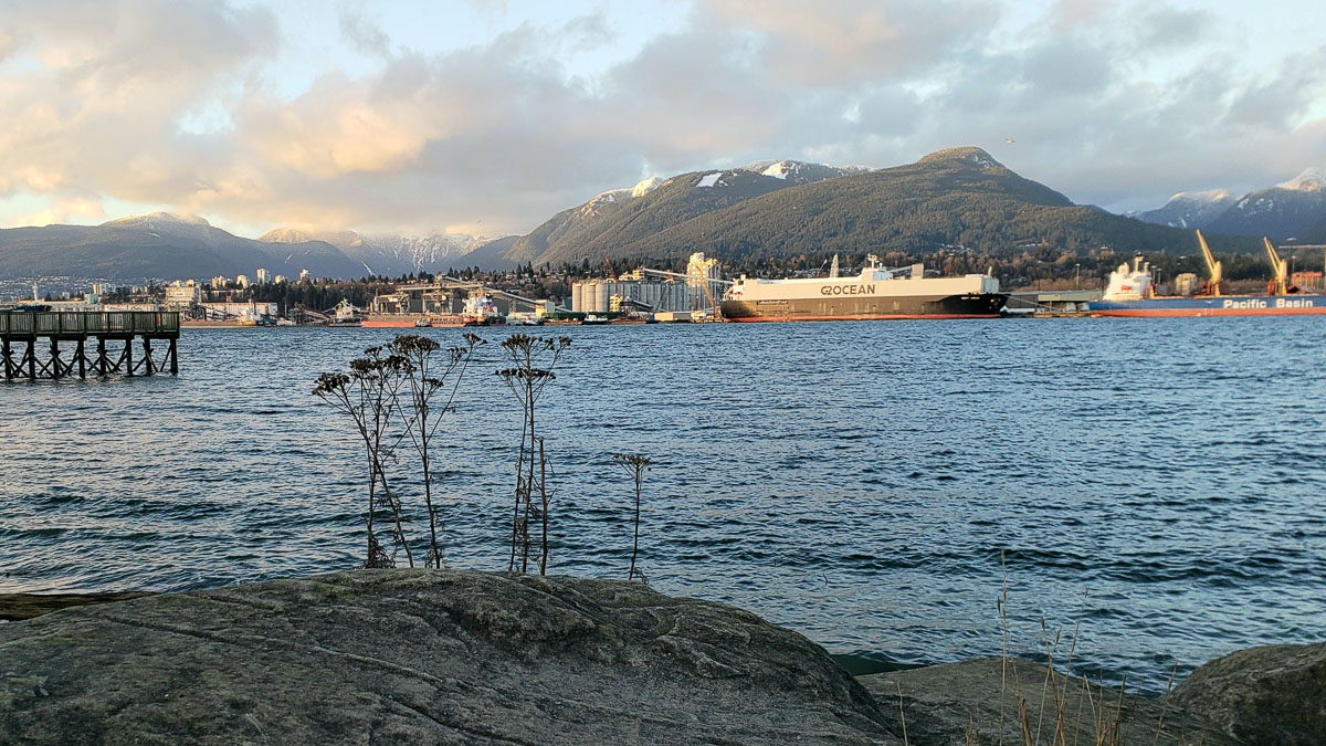
It’s been four years since we’ve parked ourselves anywhere longer than a month. A couple of footloose nomads, we’ve been gallivanting around the world since the summer of 2016, always exploring new places. Vancouver isn’t new to either of us since we were both born in this city’s suburbs and lived most of our lives in the area. We love the location that we are living in since it is only a few minutes from Granville Island and a bike ride away from downtown, beaches, and other great places. But it didn’t take long to start feeling like we needed to find ways to see and do more, safely and outside.

With the help of an app called Adventure Lab, we have discovered all sorts of places that we had never been to before, or had only passed through while driving somewhere else.

Adventure Lab comes from the Geocaching organization. If you aren’t familiar, geocaching started about 20 years ago and is practiced all over the world. Though there are several cache variations, for traditional geocaches you use your GPS (phone apps work fine) to follow coordinates to a location and then search the area for a cache. At a minimum, the cache vessel contains a log for you to sign to record your find.
Ken started geocaching very casually a few years back, spurred on by a geocache-crazed semi-relative in Scotland (you know who you are!). He became more enthusiastic as he searched for and found caches all over the world where we travelled. I was less enthusiastic because I’m not so keen to crawl under bushes and stick my fingers into rocky crevices that may contain spiders, snakes, or any number of creepy crawlers or bits of human detritus. And I have little patience for standing around while Ken hunts for the sometimes-elusive cache.

The much-newer Adventure Lab app suits me much better. Each lab consists of at least five places in an area that can be a short walk in a park, a drive around a city, or even a road trip through several communities. Each location includes a description, which is often a bit of background about the location, some history, or other interesting facts. As you arrive near the location using the provided map and GPS coordinates a question is presented, which you answer using available information (for example, a fact from a sign, or a count of some objects on a building). Once your answer is confirmed as correct, off you go to the next location. You complete the lab by answering all of the locations’ questions correctly. You can choose to work on a lab all in one go, or visit a single location and come back to the lab at a later date.


We find that each lab feels like a little tour of an area where we are introduced to a community’s art or history, or to the beauty of a park or hiking trail. It feels like we are micro-traveling in a time when full-on travel is off the table.

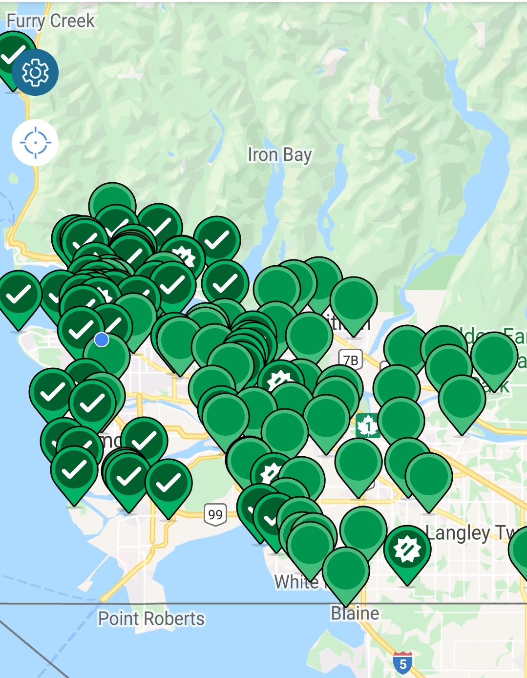
If you are a Geocache member, completed locations count toward your Geocache finds. But the Adventure Lab app is independent from the Geocache one, and you can join one without the other. Just download the app, sign up for free, and you’re ready for your next adventure. We encourage you to check it out and see if there are labs available in your communities. New ones are being added all the time. Ken has been invited twice to create labs, and we have set up two near where we are staying. The research is a great rainy day project and then recording coordinates and looking for suitable questions and answers is another opportunity to look a little deeper into a familiar area.
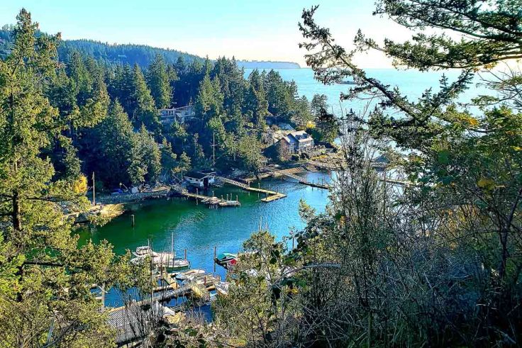
With Adventure Labs, we have been encouraged to get out into places we would not have otherwise explored, we have learned a little something about a lot of places and I haven’t had to deal with creepy crawlies once. What more could I ask for?
Let us know in the comments if you have tried Adventure Labs already or, if you decide to check it out, come back and tell us about your experiences.

Thanks for the suggestion of Adventure App – never heard of it! Sitting in Fairview now and looking forward to playing with the app. Any suggestions for how to use maps.me or other mapping devices with it. I get location but no paths
LikeLike
Hi there. Glad you’ve found something new! If you click Start on a lab, once you see your first location you can click the directions button (white arrow in a blue diamond). For me, that opens up Google maps and I can set it to use pathways if I wish. I haven’t tried to change it to open maps.me yet since Google Maps has worked well enough for us.
Have fun!
LikeLike
Nice life Coral, thx for all the beautiful pics and information
LikeLiked by 1 person
Thank you, Kathy. Nice to hear from you. I enjoy your FB posts, too!
LikeLike
Hi, for some reason I can’t open your post, what are your plans after this is over?Sent from my Galaxy Tab® E
LikeLike
I’m sorry you’re having trouble. I’ll send you a link by email to try.
LikeLike